Besides high-performance computers, the Department of Earth and Environmental Sciences at California State University, Fresno has several instruments for near-surface geophysics. Any software to which we link here is freely available.
Ground Penetrating Radar
Equipment: Sensors & Software PulseEKKO Pro 50, 100 & 250 MHz
Software:
- Matlab/Octave scripts for processing and
plotting (2D,3D):
GPR-O
- Data processing and 2D plotting:
Seismic Unix
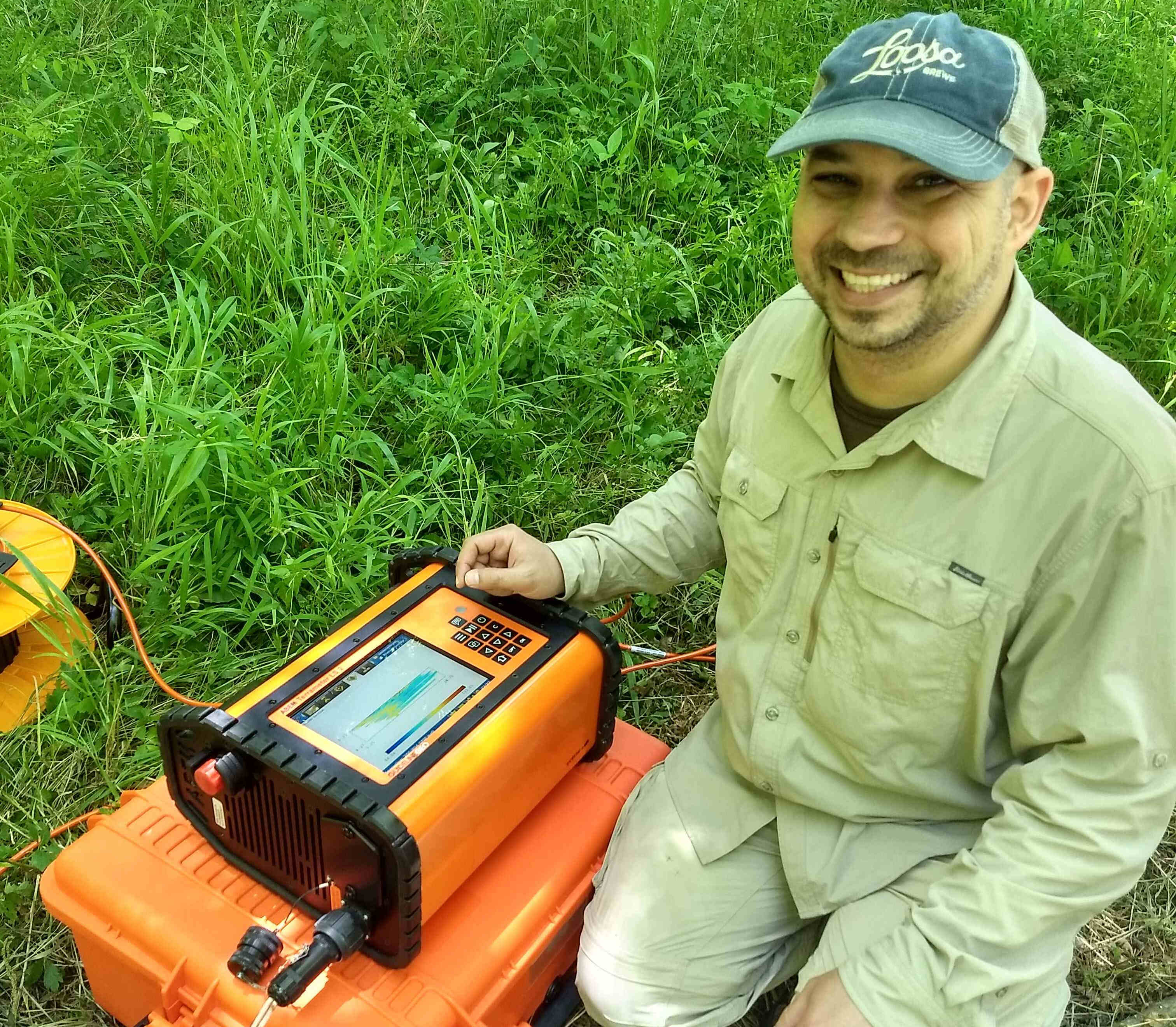
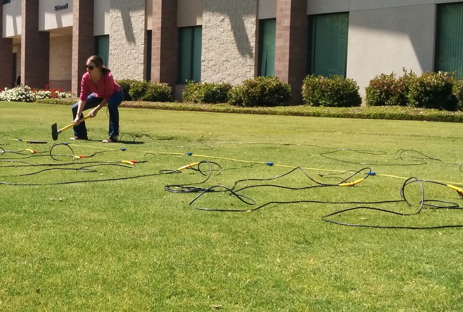
Electrical Resistivity Tomography
Equipment: Advanced Geosciences Inc SuperSting R1, 28 electrodes
Software: - Quality Control, Easy inversions: DC2dInvRes - High-performance 2D and 3D inversions: BERT/GIMLi - High-performance 3D and time lapse software: E4D
Recommended introductory reading: DOI: 10.1016/j.jappgeo.2013.02.017
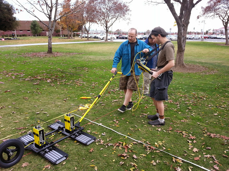
Seismics
Equipment: Geometrics Geode, 24 geophones
Software:
- Data processing and 2D plotting:
Seismic Unix
- 2D Full waveform inversion based on SpecFEM:
SeisFlows
Differential GPS
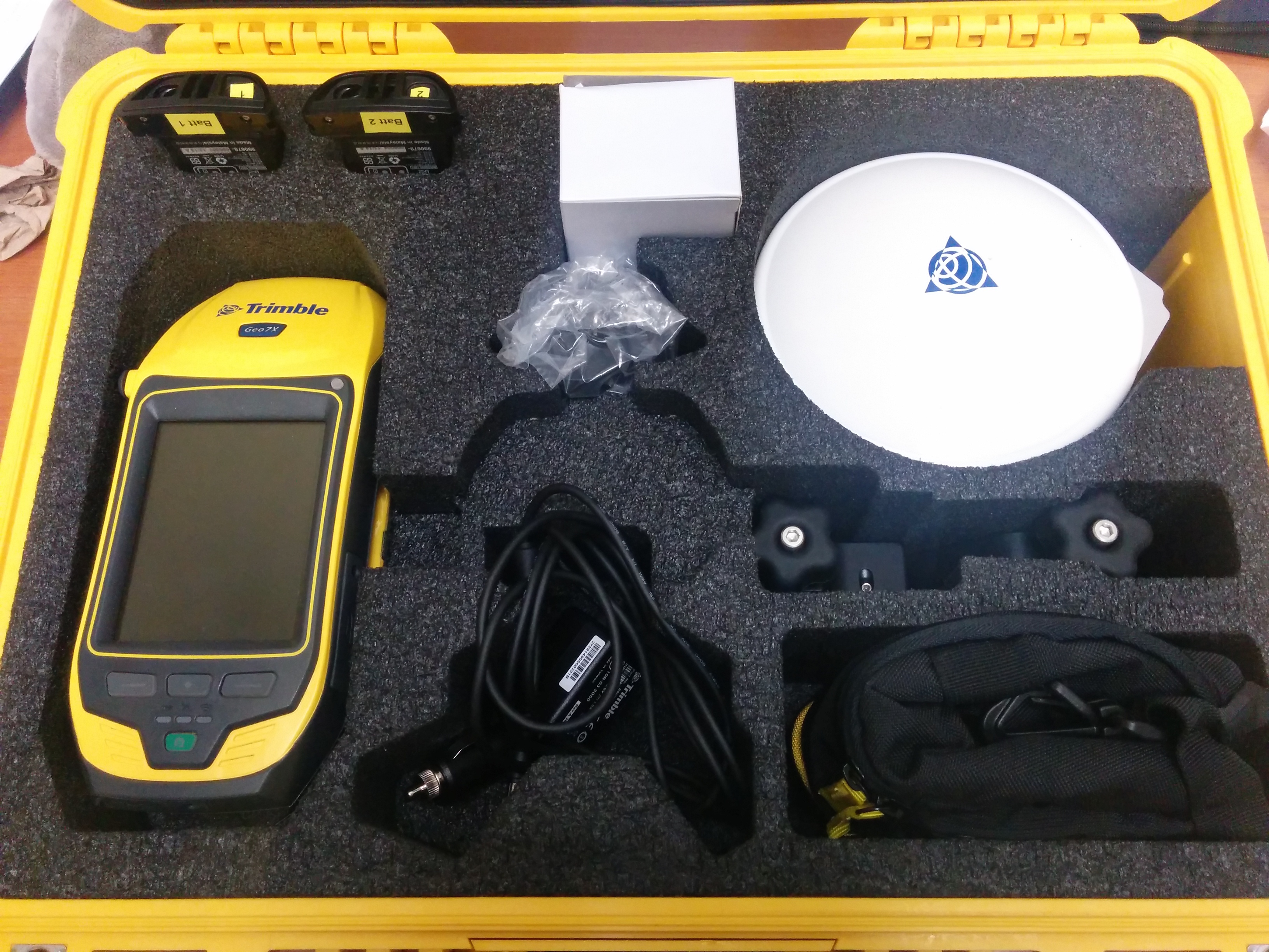
Equipment: Trimble Geo 7
Background figure
The figure in the background shows the radial component of Earth's crustal magnetic field up to spherical-harmonic degree 100 recovered from simulated radomly located noisy data points at varying satellite altitude only available over North America.